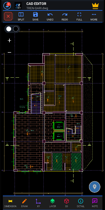
Picture this: a drawing is updated in the office in the morning, and a site visit is scheduled for the afternoon. In the past, this meant either printing hard copies or stuffing a laptop into a bag to carry along. Now, the file is in the cloud, open on your phone; you’ve already glanced through it before even arriving at the site. If a discrepancy is noticed on-site—say, the dimensions of a column don't match the project—a note is made right then and there, on your feet. Back at the office, there's no need to recall that note from memory or struggle looking at paper asking, "where was this again?" When you return to the office in the evening, the very same file is already prepared with all the added dimensions and markups; most of the time, there isn't even a need to write a separate report to explain it to a teammate—simply opening the file is enough. It seems like a minor detail, but the time saved by the end of the day is by no means insignificant.
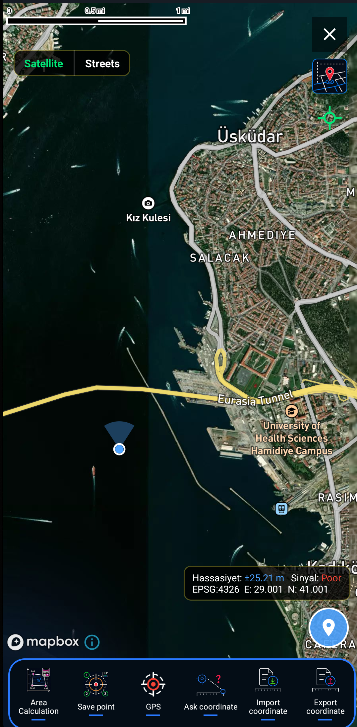
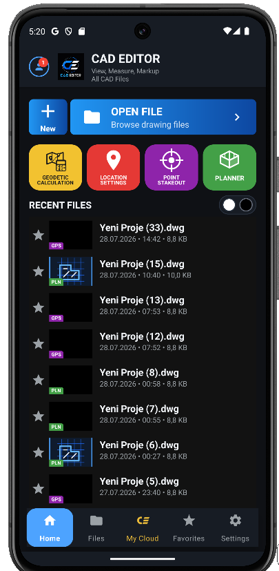
So, what does all of this add up to? Defining CADViewer in a single sentence is a bit tough. Drawing viewing, measurement, layer management, 3D inspection, coordinate operations, setting out, and sharing—all merge into a single mobile space. While layer control matters most to a civil engineer, coordinates take priority for a surveyor, and that same screen turns into a design tool for an architect. Something as simple as pulling out your phone and opening the project eliminates the need to return to the office for re-checks. Perhaps the real gain isn't just time saved, but ensuring that decisions made on-site are correct right from the start. And with a single app and a single investment, this transforms into a shared habit that benefits multiple professions simultaneously.
Easy Operation and Cloud Integration
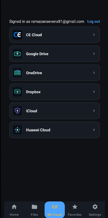
What connects all these disciplines is the seamless flow of data without any loss. Cloud storage allows accessing the project from different devices, uploading and downloading files, and keeping everything up to date within the team. When markups made on-site can be exported as a PDF, a field report or revision note can be shared instantly via email or messaging apps. That classic disconnect between the office and the field is largely bridged. Most of the time, there isn't even a need to ask who updated which file and when, because everyone is already looking at the very same cloud folder.
Scaled Floor Plans and GPS Point Stakeout with Floor Planner
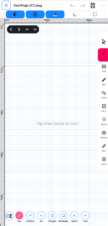
Updating existing residential, office, or retail renovation projects on-site—or taking field measurements from scratch—is remarkably practical with Floor Planner. Using dedicated wall, door, and room tools, you can quickly build out a space's layout. Automatic snapping and grid snapping guarantee that line endpoints align perfectly, making scaled drafting simple and precise. While arranging the spatial layout, you can track area and perimeter takeoffs in real time. This capability provides a huge advantage during architectural design, interior design implementation, decoration work, real estate presentations, and rapid cost estimation. Rough plans sketched in the field can be merged into the main project file, shared with colleagues, or exported directly as visual outputs for client presentations.
Site Control in Civil Engineering
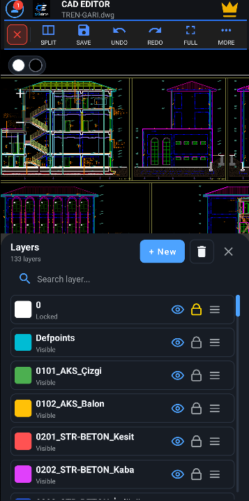
Construction is usually all about speed. Is the formwork properly secured, is the rebar spacing aligned with the project, does the road elevation match? Leaving these checks for the next day not only wastes time but also increases the risk of error. Opening the drawing in CADViewer, an engineer can directly measure the distance between two points, take multiple consecutive measurements in bulk if needed, and mark any flaw noticed on-site directly onto the drawing itself. The layer visibility feature might seem minor here, but it actually saves the day: if you only want to view the rebar in a cluttered sheet, you can mute everything else. This reduces the chance of looking at the wrong line. During site meetings, when everyone looks at the same up-to-date file, debates like "that's not how it was on my version" naturally come to an end.
Area, Perimeter, and Quantity Takeoff Calculation
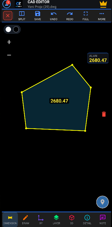
Quantity takeoffs and area calculations are essential not only in architectural projects, but also in land surveys, landscape designs, and material estimations. With the quantity takeoff and area tools in CAD Editor, all the values you need are displayed instantly on your screen. This allows you to catch measurement discrepancies before work even begins, quickly calculate required material quantities for procurement bids, and manage all takeoff controls directly from your mobile device.